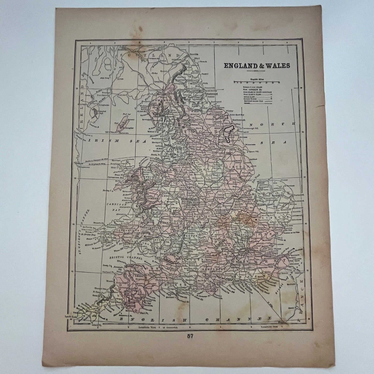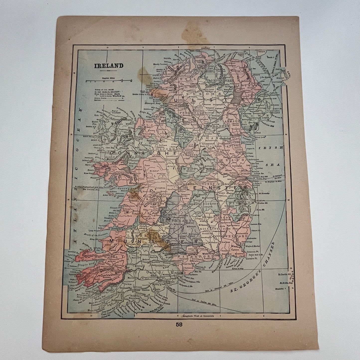


Map of England & Wales and Ireland 1894 Map SV1-6
Map of England & Wales and Ireland 1894 Map SV1-6
Regular price
$57.00 USD
Regular price
Sale price
$57.00 USD
Unit price
per
Tax included.
Couldn't load pickup availability
DOUBLE SIDED Measures approx 9x13.5. If you need an exact measurement please ask prior to ordering. Original piece taken from 1905 Peerless Atlas of the World - Farm & Fireside Library. May have tears, blemishes, brittleness and other issues due to age. See pics for condition.
Map of England & Wales and Ireland 1894 Map SV1-6
Map of England & Wales and Ireland 1894 Map SV1-6