1
/
of
4
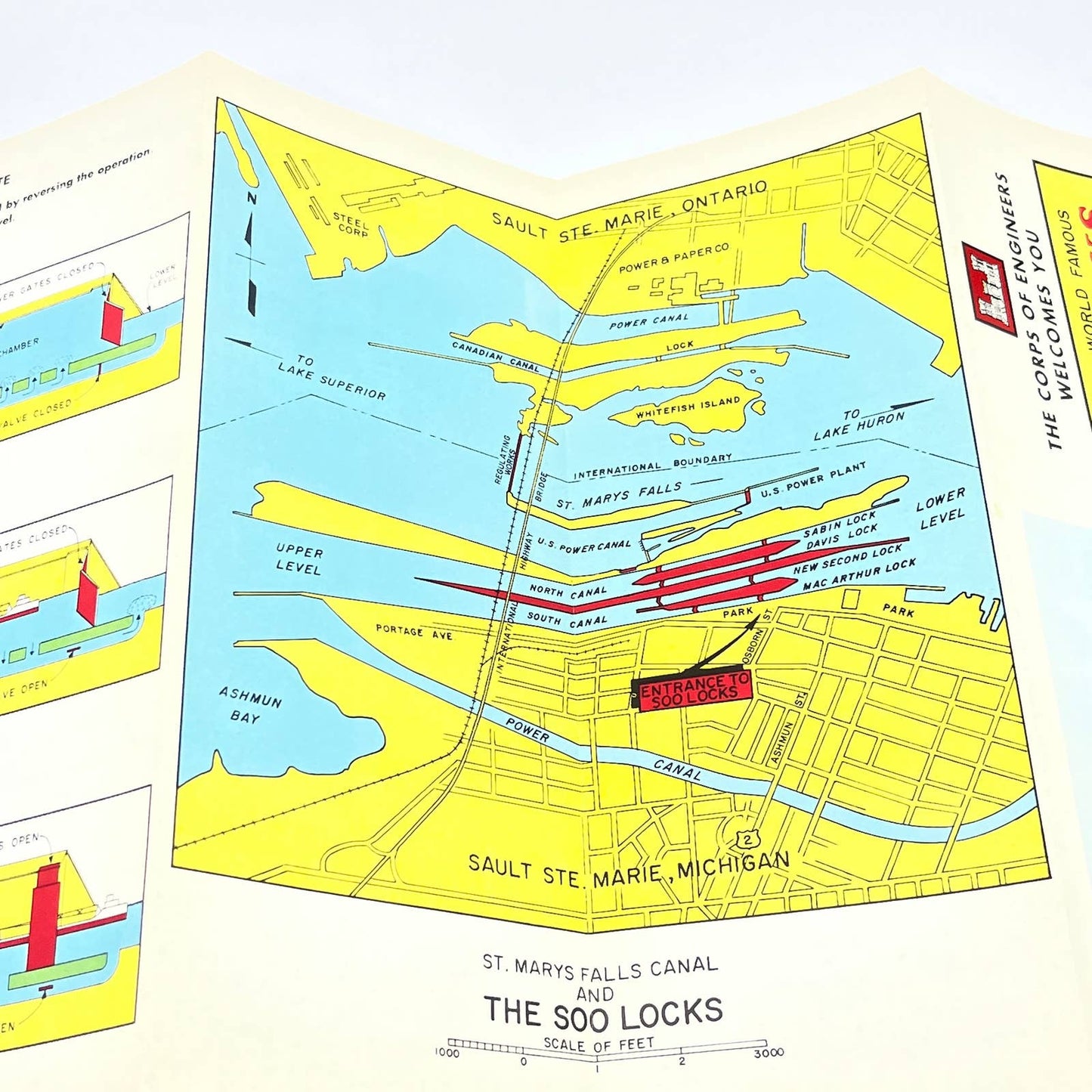
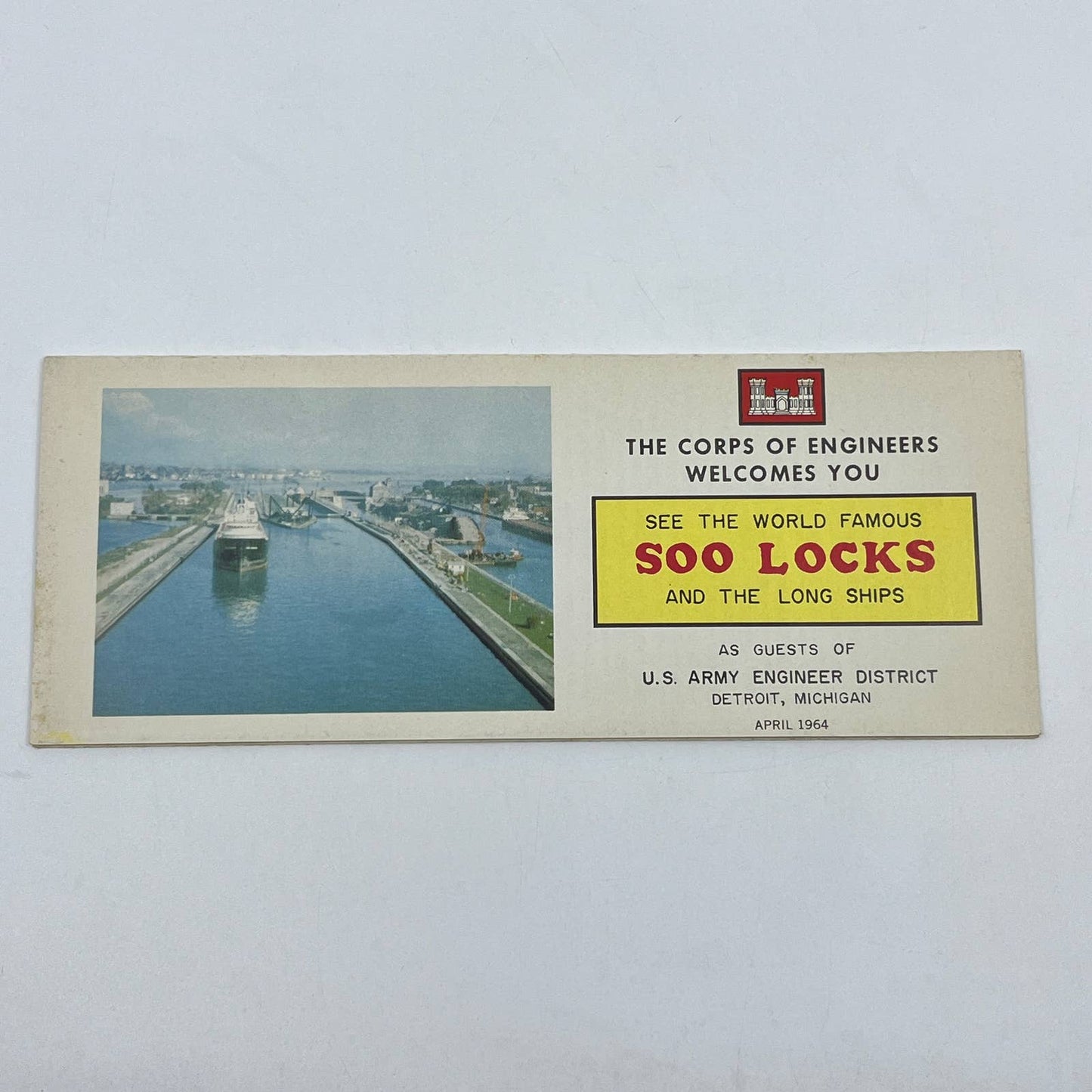
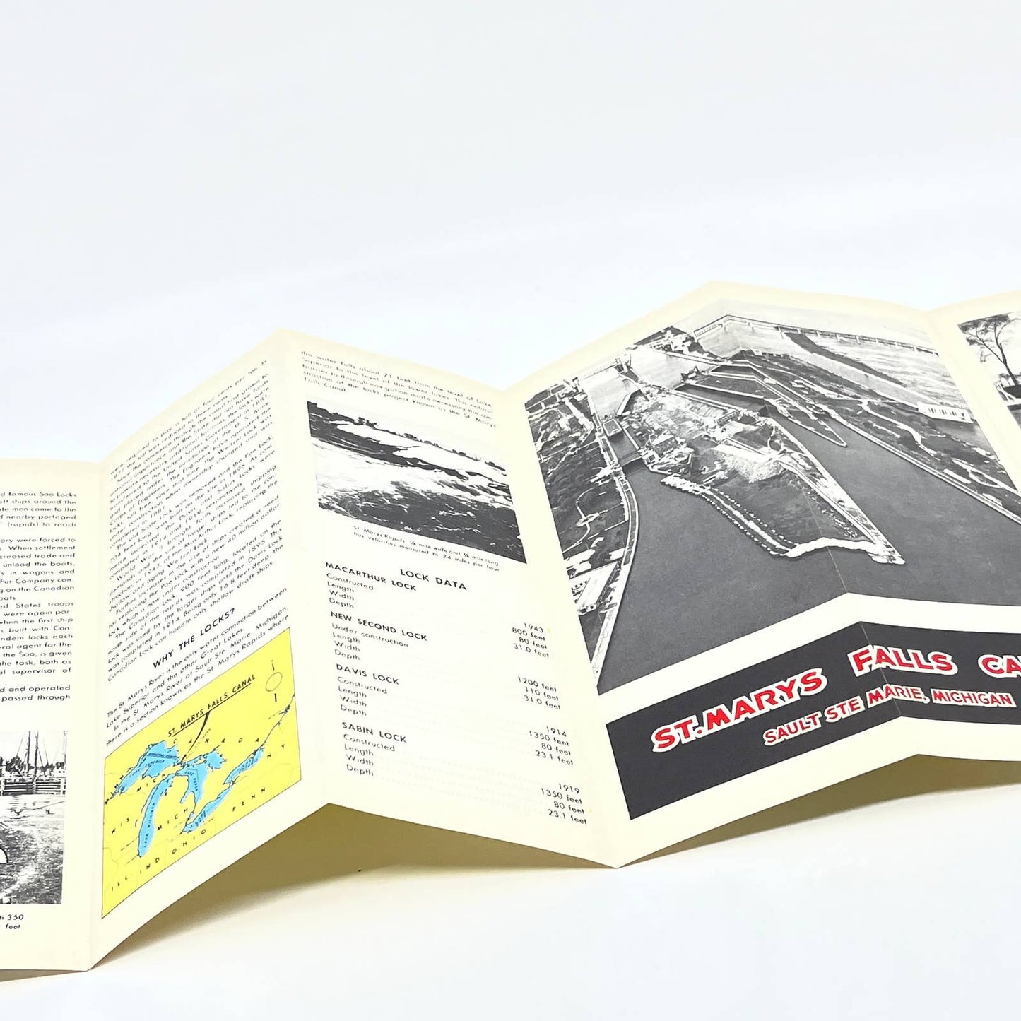
1964 Army Corps of Engineers Soo Locks and Longships Brochure Fold Out Map AC1
1964 Army Corps of Engineers Soo Locks and Longships Brochure Fold Out Map AC1
Regular price
$27.00 USD
Regular price
Sale price
$27.00 USD
Unit price
/
per
Tax included.
Couldn't load pickup availability
See Pics for condition.
1964 Army Corps of Engineers Soo Locks and Longships Brochure Fold Out Map AC1
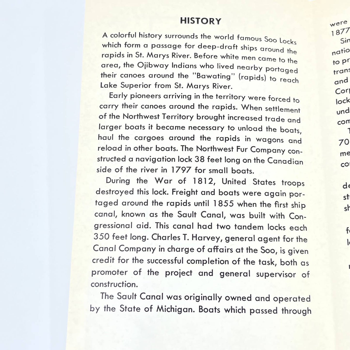
A colorful history surrounds the world famous Soo Locks which form a passage for deep-draft ships around the rapids in St. Marys River. Before white men came to the area, the Ojibway Indians who lived nearby portaged their canoes around the "Bawating" (rapids) to reach Lake Superior from St. Marys River.
Early pioneers arriving in the territory were forced to carry their canoes around the rapids. When settlement of the Northwest Territory brought increased trade and larger boats it became necessary to unload the boats, haul the cargoes around the rapids in wagons and reload in other boats. The Northwest Fur Company constructed a navigation lock 38 feet long on the Canadian side of the river in 1797 for small boats.
During the War of 1812, United States troops destroyed this lock. Freight and boats were again portaged around the rapids until 1855 when the first ship canal...
Share


